
DAILY FORECAST: Clouds, rain and lots of wind
Published at | Updated at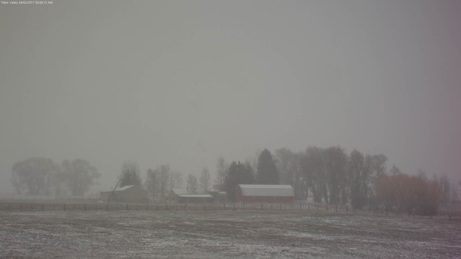
UPDATE:
The National Weather Service issued a severe thunderstorm warning in Bannock, Bingham and Power counties late Sunday afternoon. The storm will effect the following communities: Pocatello, American Falls, Chubbuck, Fort Hall and Sterling.
Severe thunderstorms produce damaging winds, destructive hail, deadly lightning and very heavy rain. For your protection, move to an interior room on the lowest floor of your home or business, according to NWS.
ORIGINAL STORY
IDAHO FALLS — Eastern Idaho is in for another cloudy and rainy spring day for Sunday, April 2.
Flood conditions around the region continue to improve with water levels in rivers stabilizing or decreasing slightly.
The Bear River in Bear Lake County has dropped to 8.6 feet. The river is expected to hold steady or very slowly fall over the next couple of days.
High flows and runoff continue to impact Pegram, Dingle, Ovid, Saint Charles and Fish Haven. Widespread flooding across fields and low lying areas continues and numerous flooded basements across the area have been reported. Roads near Pegram also have been damaged by water flowing over the road.
The Portneuf River in Pocatello is measuring at 8.9 feet and minor flooding is still occurring along its banks.
The river is expected to crest Sunday night at around 9 feet and gradually fall over the next couple days.
Minor flooding is occurring in the Chesterfield and Pebble area. Water from the Portneuf River and King Creek are spilling into nearby fields. At this time, roads and homes are not affected.
Minor flooding also is occurring below the Monida Dam in Franklin County due to snow melt, rain and runoff. The advisory is in effect until midday Monday. The following communities will be effected: Preston, Franklin, Weston, Whitney and Riverdale.
ROAD REPORT
No major road closures are being reported as of 8 a.m. Sunday.
Construction on northbound Interstate 15 between exit 72 (Chubbuck) and exit 80 (Fort Hall) has been reduced to one lane due to bridge maintenance. Expect delays and reduced speed of 65 mph through May 12.
SEE YOUR COMPLETE EASTIDAHONEWS.COM 10-DAY FORECAST HERE

DAILY FORECAST:
Idaho Falls, Rigby and Rexburg
The Upper Snake River Plain will be windy and rainy today. There is a chance for rain in the morning and thunderstorms in the afternoon. Highs of 47 to 54 degrees are expected with southwest winds of 10 to 20 mph. Clouds will roll in at night with a 20 percent chance of rain. Lows of 23 to 30 degrees are expected with southwest winds decreasing to 10 mph after midnight.
Pocatello and Blackfoot
It’ll be wet in the Lower Snake River Plain today. Rain is likely in the morning, and a chance for rain and thunderstorms in the afternoon. It’ll be windy with southwest winds of 10 to 15 mph gradually increasing to 20 to 30 mph during the afternoon. Highs of 46 to 54 degrees are expected. At night it’ll be partly cloudy with lows of 24 to 31 degrees and decreasing winds after midnight of 10 to 15 mph.
St. Anthony, Ashton, Island Park, Driggs and Victor
The Upper Valley and Teton Valley will see rain and snow in the morning. Between 1 to 3 inches of snow are possible above 6,000 feet. Highs of 41 to 51 degrees are expected. It’ll be cloudy at night with a continued chance of rain or snow. Lows of 14 to 24 degrees are predicted.
Arco, Challis and Mackay
It’ll be partly sunny in the Lost River area today with a chance of rain or snow in the morning and afternoon. Highs of 47 to 56 degrees are expected. It’ll be partly cloudy at night with a slight chance of snow in the evening. Lows of 16 to 26 degrees are predicted.
Henry, Soda Springs, Downey and Lava Hot Springs
The Caribou Highlands will see rain and snow in the morning and possible thunderstorms in the afternoon. Between 1 to 3 inches of snow could fall above 6,600 feet. Highs of 42 to 52 degrees are expected. It’ll be partly cloudy at night with a continued chance for rain and snow. Lows of 20 to 29 degrees are predicted.
This weather-related story is brought to you by Frontier Credit Union. At Frontier Credit Union, we believe in building a better life for our members, our communities and the great state of Idaho. Explore our solutions and start building your better life today at Frontier Credit Union.