
DAILY FORECAST: Cloudy with rain and possible thunderstorms
Published at | Updated at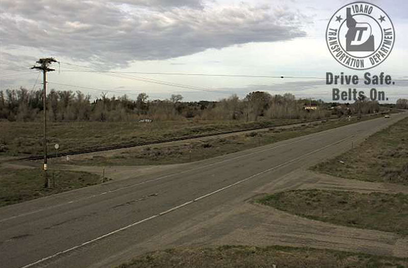
IDAHO FALLS — East Idaho is going to get wet again on Sunday, April 23. Rain and thunderstorms are expected throughout the region today and will continue all week.
Minor flooding continues along the Portneuf River. The river has stabilized more than a foot above flood stage at 9.9 feet. Water levels are expected to stay at that level through Wednesday.
A flood advisory is still in effect for the Bear River in Bear Lake County. The river, and surrounding streams remain elevated and are slightly above their banks from Montpelier to the Wyoming State Line. Some minor field and dirt road flooding is occurring near Pegram and Dingle.
ROAD REPORT
No major road closures have been reported as of 8 a.m. Sunday.
Construction on northbound Interstate 15 between exit 72 (Chubbuck) and exit 80 (Fort Hall) has been reduced to one lane due to bridge maintenance. Expect delays and reduced speed of 65 mph through May 12.
SEE YOUR COMPLETE EASTIDAHONEWS.COM 10-DAY FORECAST HERE
DAILY FORECAST:
Idaho Falls, Rigby and Rexburg
The Upper Snake River Plain will be cloudy today with scatter rain showers throughout the day and isolated thunderstorms in the afternoon. Highs of 55 to 62 degrees are expected with northwest winds of 10 mph in the morning and between 10 to 20 mph in the afternoon.
Clouds will remain at night with a 50 percent chance of rain and thunderstorms. Wind speeds will go up to between 15 to 25 mph in the early evening. Lows of 36 to 43 degrees are expected.
Pocatello, Fort Hall and Blackfoot
The Lower Snake River Plain will be partly sunny with isolated rain showers throughout the day and possible thunderstorms in the afternoon. Highs of 56 to 63 degrees are expected with east winds of 10 mph.
It’ll be cloudy at night with a 40 chance of rain and thunderstorms. Wind speeds will increase to between 15 and 25 mph with lows of 38 to 45 degrees.
St. Anthony, Ashton, Island Park, Driggs and Victor
The Upper Snake Highlands will see scattered rain and numerous snow showers throughout the day and isolated thunderstorms. Highs of 51 to 58 degrees are expected. It’ll be cloudy at night with continued rain, snow and thunderstorms. Snow accumulation of 2 inches is possible in the area. Lows of 32 to 39 degrees are expected.
Arco, Challis and Mackay
There will be lots of rain and snow in the Lost Rivers area today. Up to 2 inches of snow is possible above 7,600 feet. Highs of 50 to 59 degrees are expected. Numerous snow showers are predicted during the night with lows of 31 to 38 degrees.
Henry, Soda Springs, Downey and Lava Hot Springs
The Caribou Highlands will be mostly cloudy with scattered rain showers throughout the day and isolated thunderstorms in the afternoon. Highs of 54 to 61 degrees are expected. It’ll be mostly cloudy at night with scattered rain showers and thunderstorms and lows of 34 to 41 degrees.
This weather-related story is brought to you by Frontier Credit Union. At Frontier Credit Union, we believe in building a better life for our members, our communities and the great state of Idaho. Explore our solutions and start building your better life today at Frontier Credit Union.