
DAILY FORECAST: Weather advisory issued in eastern Idaho
Published at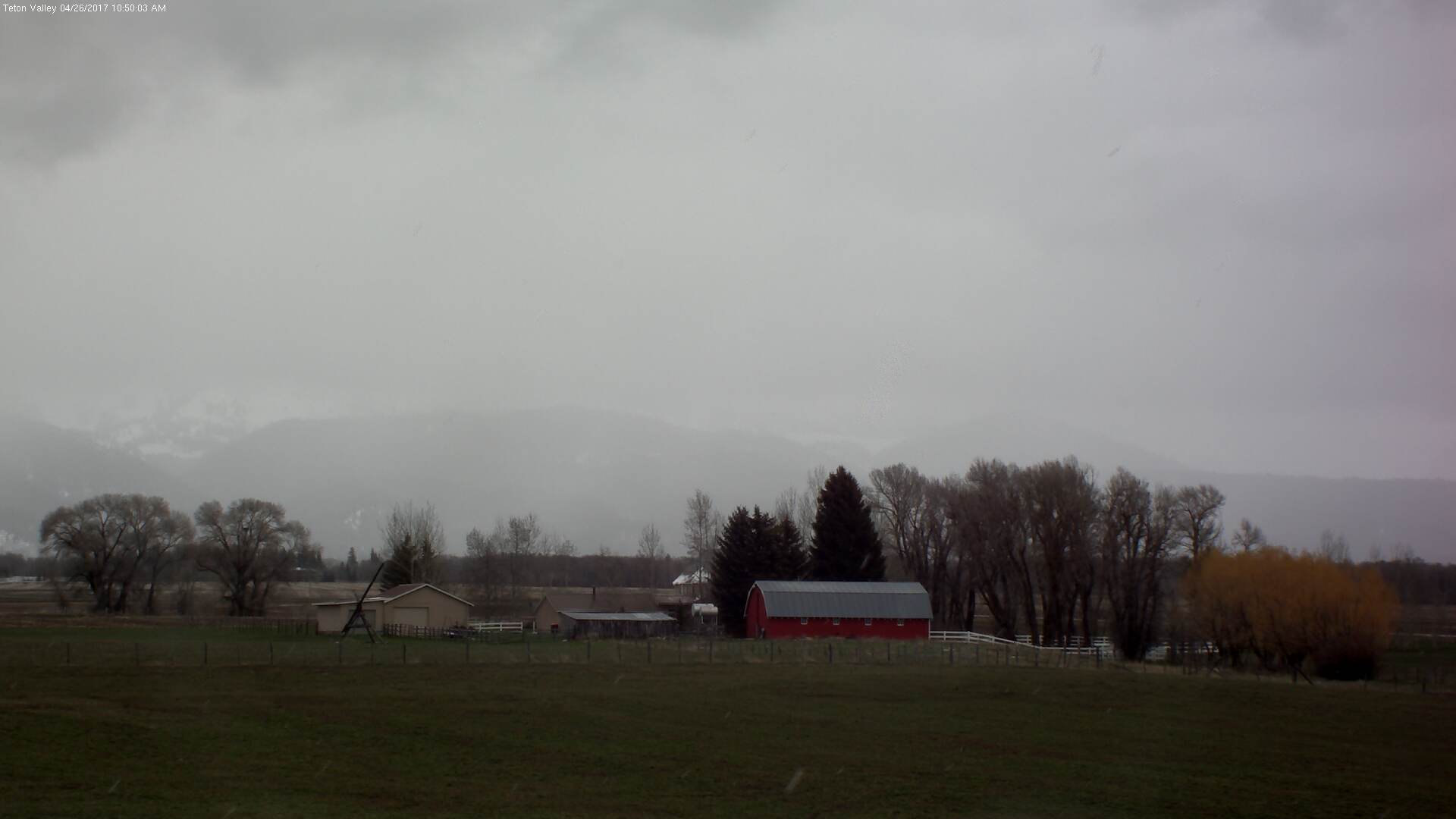
IDAHO FALLS — The wet week continues. A special weather advisory has been issued for eastern Idaho for Wednesday, April 26.
A rain and snow storm are expected to develop across the region today and into Thursday. Between 3 to 6 inches of snow is expected to fall in the mountain passes and areas of higher elevations. During Wednesday afternoon, some of the snow will melt causing slush on the roadways. Many of the highways near the Wyoming State Line will see winter weather conditions tonight.
All of western Wyoming is under a winter weather advisory. Between 3 and 6 inches of snow is expected throughout the region, along with high westerly winds of 15 to 25 mph with gusts of 35 mph.
The rain is causing the Portneuf River to rise again. The river, which is more than a foot above flood stage, is measuring at 9.7 feet. Minor flooding is occurring along its banks. The river is expected to rise above 9.9 feet by Thursday morning causing moderate flooding in the surrounding area.
A flood advisory is still in effect for the Bear River in Bear Lake County. The river, and surrounding streams remain elevated and are slightly above their banks from Montpelier to the Wyoming State Line. Some minor field and dirt road flooding is occurring near Pegram and Dingle.
ROAD REPORT
No major road closures have been reported as of 8 a.m. Wednesday.
Construction on northbound Interstate 15 between exit 72 (Chubbuck) and exit 80 (Fort Hall) has been reduced to one lane due to bridge maintenance. Expect delays and reduced speed of 65 mph through May 12.
SEE YOUR COMPLETE EASTIDAHONEWS.COM 10-DAY FORECAST HERE
DAILY FORECAST:
Idaho Falls, Rigby and Rexburg
The Upper Snake River Plain will see scattered rain and snow showers in the morning, followed by widespread rain showers and thunderstorms in the afternoon. Southwest winds of 10 to 15 mph will increase to between 15 and 25 mph in the afternoon. Highs of 43 to 51 degrees and expected. It’ll be cloudy at night with a 50 percent chance of rain and snow. Up to 2 inches of snow could fall with lows of 30 to 37 degrees and southwest winds of 15 to 25 mph.
Pocatello, Fort Hall and Blackfoot
Rain and snow is expected in the Lower Snake River Plain throughout today. Isolated thunderstorms are possible in the afternoon with southwest winds of 10 to 20 mph. Highs of 42 to 51 degrees are expected. There is a 70 percent chance of rain and snow showers in the evening with up to 2 inches of snow possible. Southwest winds of 20 to 30 mph are expected during the night with lows of 31 to 38 degrees.
St. Anthony, Ashton, Island Park, Driggs and Victor
The Upper Snake Highlands will see scattered snow and rain showers in the morning and then widespread rain and snow showers in the afternoon. Up to 2 inches of snow is possible throughout the day. Highs of 40 to 47 degrees are expected. Some 2 to 4 inches of snow is predicted to fall during the night with lows of 28 to 35 degrees.
Arco, Challis and Mackay
The Lost Rivers area will see scattered snow and rain showers in the morning, then widespread rain and snow showers in the afternoon. Up to 2 inches of snow could fall during the day. Highs of 42 to 52 degrees are expected. During the night the chance for rain and snow continues and up to 2 inches of snow could fall. Lows of 27 to 34 degrees are expected.
Henry, Soda Springs, Downey and Lava Hot Springs
The Caribou Highlands will see scattered snow and rain showers in the morning and then widespread rain and snow in the afternoon. Up to 2 inches of snow is possible with highs of 40 to 47 degrees. The moisture will continue into the night with 3 to 4 more inches of snow possible. Lows of 29 to 36 degrees are expected.
This weather-related story is brought to you by Frontier Credit Union. At Frontier Credit Union, we believe in building a better life for our members, our communities and the great state of Idaho. Explore our solutions and start building your better life today at Frontier Credit Union.