



Rain could trigger flash flooding near Heise, Ketchum wildfire burn scars
Published at
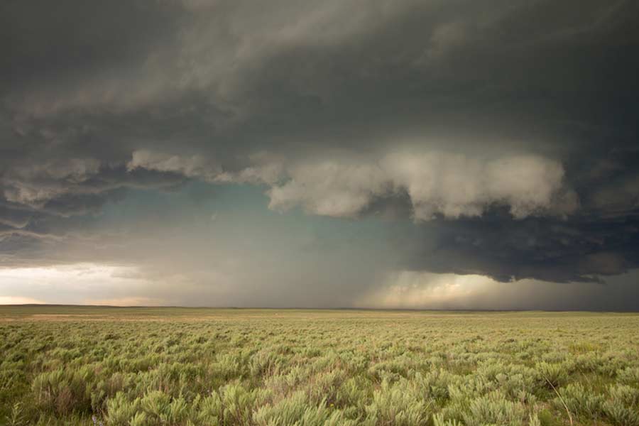
IDAHO FALLS – Forecasters say excessive rainfall in two areas impacted by a wildfire this summer could result in flash flooding.
On Wednesday at 11:47 a.m., the National Weather Service in Pocatello issued a flood watch over the Big Rock burn scar in the Heise area and over the Ohio burn scar south of Ketchum. It will remain in effect until Friday at 6 p.m.
The lightning-caused Big Rock Fire broke out on July 31 in the foothills near Heise. It was fully contained on Aug. 13 after burning more than 2,200 acres.
Similarly, the Ohio fire started on July 18 on U.S. Bureau of Land Management property in Ohio Gulch northeast of Hailey. It was fully contained on July 22 after burning about 2,035 acres. The fire was reportedly the result of an ammunition spark due to six individuals shooting guns in the area.
Areas near these burn scars, including the Heise and Ririe areas in the Upper Snake River Plain and the Wood River foothills in central Idaho, are under a flood watch.
“Heavy rainfall over the Big Rock and Ohio burn scar is expected up to and during the period of the watch. Residents near the Big Rock and Ohio burn scar should prepare for potential debris flow,” an alert from the NWS says.
The Big Rock burn scar was one area impacted by a similar flash flood watch in August. The National Weather Service has issued multiple flash flood watches across eastern Idaho over the past several months.
RELATED | Flash flood watch issued as heavy rain targets eastern Idaho
A slight chance of rain is possible across eastern Idaho. On its Facebook page Tuesday, the NWS in Pocatello posted a graphic showing the likelihood of rainfall in individual communities. Montpelier has the highest chance of rain, with a 20-24% chance between noon and 3 p.m. on Wednesday. There is a 21% chance of rain in Driggs around 3 p.m.
Additionally, meteorologists are forecasting cooler temperatures on Friday, with daytime temperatures in the mid to upper 40s.
EastIdahoNews.com will provide updates on the flash flood watch as we receive them. For live traffic cams and a complete seven-day forecast, click here.
This weather-related story is brought to you by Pony Express Car Wash, Idaho's premier express car wash destination, renowned for its commitment to exceptional service and quality. Voted the No. 1 car wash company in Idaho for five consecutive years, we pride ourselves on delivering an unparalleled experience for every vehicle and customer. Our state-of-the-art facility utilizes name-brand soaps and cutting-edge equipment to ensure your car receives the ultimate clean. Established in eastern Idaho in 2019, Pony Express is proud to be a locally owned and operated company that caters to the unique car washing needs of our Idaho Friends and neighbors. We invite you to experience the difference at Pony Express, where your satisfaction is our ultimate goal.