
Winter storm to bring snow, freezing rain into east Idaho
Published at | Updated at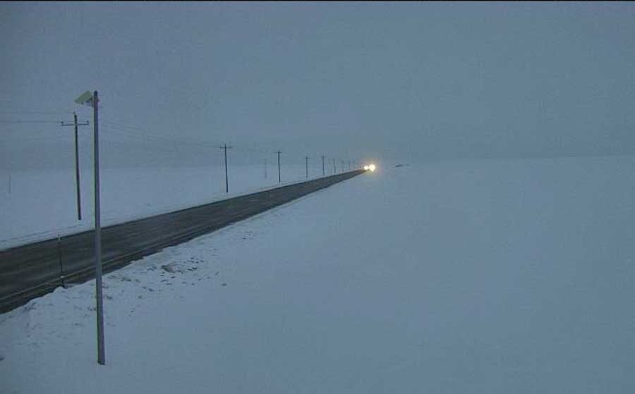
IDAHO FALLS — A large storm system will hit eastern Idaho starting Wednesday night until late Thursday or early Friday, depending on your area.
The National Weather Service has issued a winter storm warning for the higher elevation areas of the following counties: Fremont, Clark, Teton, Madison, Bonneville, Caribou, Franklin and Oneida. This includes most of the mountain passes along the Montana and Wyoming borders.
Heavy snow and wind are expected in those regions, which will create blowing and drifting snow. Between 8 to 12 inches of snow may fall between Wednesday night and Friday morning. These warnings expire Friday morning.
The rest of eastern Idaho is under a winter weather advisory and can expect a mix of freezing rain and snow, which will affect the following communities: Preston, Montpelier, Soda Springs, Henry, Bone, Ashton and Driggs. Between 4 to 8 inches of snow is possible with wind gusting up to 40 mph.
These warnings and advisories expire Friday morning.
The lower-elevation areas will not see as much snow, but there will be lots of ice. Idaho Falls, Rexburg, Rigby, St. Anthony, Idaho National Laboratory, Mud Lake, Arco, Mackay, Howe, Dubois and Spencer will see between 1 to 4 inches of snow with additional ice accumulations on top of the snow following freezing rain. Plan on very slick conditions due to the icy roadways.
Southeastern Idaho, including Pocatello, American Falls, Blackfoot, Burley, Rupert and Heyburn, will see less than 1 inch of snow. However, ice accumulation on top of the snow will create slick conditions for drivers.
The lower-elevation advisories expire Thursday evening.
Travel will be negatively impacted across eastern Idaho between Wednesday night and Friday. For access to the latest road conditions, visit 511 Idaho. Click here to see webcams across the area.
This weather-related story is brought to you by Pony Express Car Wash, Idaho's premier express car wash destination, renowned for its commitment to exceptional service and quality. Voted the No. 1 car wash company in Idaho for three consecutive years, we pride ourselves on delivering an unparalleled experience for every vehicle and customer. Our state-of-the-art facility utilizes name-brand soaps and cutting-edge equipment to ensure your car receives the ultimate clean. Established in eastern Idaho in 2019, Pony Express is proud to be a locally owned and operated company that caters to the unique car washing needs of our Idaho Friends and neighbors. We invite you to experience the difference at Pony Express, where your satisfaction is our ultimate goal.