
Winter storm warnings and advisories extended to late Wednesday
Published at | Updated at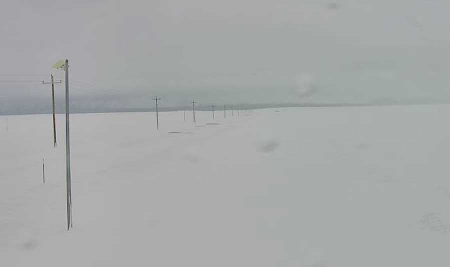
IDAHO FALLS — A long-duration snow storm looks to be staying in eastern Idaho a little longer.
The National Weather Service has extended several winter storm warnings and winter weather advisories in eastern Idaho until 5 p.m. Wednesday. Previously the storm, which started on Saturday, was expected to end on Tuesday night.
The worst part of the storm remains along the Idaho/Wyoming or Idaho/Montana borders or in the central mountains. A winter storm warning remains in effect in the following communities: Ashton, Island Park, Driggs, Soda Springs, Henry, Bone, Victor, Hailey, Bellevue, Picabo, Clayton, Stanley and Ketchum.
Additional snow accumulations of 7 to 15 inches are expected in these regions, with even higher amounts at very high elevations and above mountain passes, according to NWS.
At lower elevations, winter weather advisories remain in effect for the following communities: Idaho Falls, Rigby, Rexburg, Dubois, Small, Arco, Mackay, Shoshone, Richfield, Carey, Mud Lake and Challis.
These areas could see between 3 to 5 more inches of snow, with some areas seeing as much as 9 inches.
Strong wind, with gusts of up to 35 mph, remains in the forecast throughout eastern Idaho. As a result blowing and drifting snow will continue to be an issue on roadways.
This weather-related story is brought to you by Pony Express Car Wash, Idaho's premier express car wash destination, renowned for its commitment to exceptional service and quality. Voted the No. 1 car wash company in Idaho for three consecutive years, we pride ourselves on delivering an unparalleled experience for every vehicle and customer. Our state-of-the-art facility utilizes name-brand soaps and cutting-edge equipment to ensure your car receives the ultimate clean. Established in eastern Idaho in 2019, Pony Express is proud to be a locally owned and operated company that caters to the unique car washing needs of our Idaho Friends and neighbors. We invite you to experience the difference at Pony Express, where your satisfaction is our ultimate goal.