
Record-breaking temperatures set on Christmas Day in three eastern Idaho cities
Published at | Updated at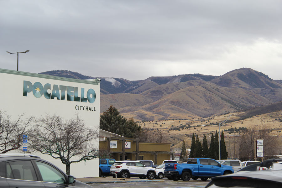
POCATELLO – Rather than a white Christmas, eastern Idahoans saw a record-breaking warm Christmas this year.
Pocatello, Idaho Falls, and Challis all broke warm temperature records on Christmas Day, with Burley tying its record, according to a social media post from the National Weather Service’s Pocatello office. Pocatello and Idaho Falls recorded record highs of 57 and 52 degrees Fahrenheit, surpassing the previous records set in 1955, at 52 degrees Fahrenheit in Pocatello and 46 degrees Fahrenheit in Idaho Falls, respectively. Challis reached 48 degrees, breaking its record of 46 set in 1922.
Andrew McKaughan, a meteorologist in the Pocatello NWS office, told EastIdahoNews.com that temperatures have been “extremely unusual.”
“I’ve come to work … many days this month (where) we’re already 45 to 50 degrees at 6 a.m. in Pocatello. So that, in and of itself, is extremely unusual for this time of year,” McKaughan said.
The new record high temperatures for both Pocatello and Idaho Falls were about 24 degrees above normal.
And Christmas wasn’t the only day that set records. Idaho Falls saw record breaking temperatures on December 10th, 13th, 14th, 15th, 16th, 17th, 24th as well as the 25th. Pocatello saw record-breaking temperatures on the 13th, 24th, and 25th.
“That being said, (Pocatello has) still had numerous days that have been 15 to 20 degrees above normal,” Mckaughan said. “On many days, our overnight low temperatures are where the high temperatures should be. And even some days it’s well above that. So it’s definitely been unusually warm for much of the month.”
EastIdahoNews.com previously reported that meteorologists expected this year to be colder and snowier, as the climate transitioned to a La Niña weather pattern. The NWS explains that a La Niña is “the periodic cooling of ocean surface temperatures in the central and east-central equatorial Pacific. Typically, La Nina events occur every three to five years or so, but on occasion can occur over successive years.”
Essentially, eastern Idaho has been receiving winds from the south, blowing warm air from California, Nevada and Arizona, which warms up the overall temperature.
RELATED | Eastern Idaho shatters records with warmest December in 85 years
As a result of these warm temperatures, there has been little visible snow on the mountains surrounding Pocatello. This only changed on Friday, with rain in the valley and snow in the mountains.
McKaughan confirmed that the snow water equivalent, which is a measurement of how much liquid water snowpack contains, is also “below normal” for this time of year.
“(This is) because it has been so warm, and snow has been limited to areas above 8,000 feet, for the most part,” McKaughan said.
Down in the valley, the temperatures are so high that the ground can’t freeze.
“It has to be below 32 degrees, and it has to stay there for a decent amount of time, and under normal weather conditions, that would definitely be occurring by this point already,” McKaughan said.
But this could still turn around, as it’s still the early stages of winter.
“We still have a long way to go, so a lot can change. December’s been warm and wet, but it doesn’t mean that in the next few months, things won’t change and we get a significant cool down,” McKaughan said.
Currently, the forecasting from the Climate Prediction Center shows McKaughan that there’s “no strong signal” either way, meaning that temperatures could get colder, remain close to their current levels, or become warmer.
“It’s way too early to know,” McKaughan said.
This weather-related story is brought to you by Pony Express Car Wash, Idaho's premier express car wash destination, renowned for its commitment to exceptional service and quality. Voted the No. 1 car wash company in Idaho for three consecutive years, we pride ourselves on delivering an unparalleled experience for every vehicle and customer. Our state-of-the-art facility utilizes name-brand soaps and cutting-edge equipment to ensure your car receives the ultimate clean. Established in eastern Idaho in 2019, Pony Express is proud to be a locally owned and operated company that caters to the unique car washing needs of our Idaho Friends and neighbors. We invite you to experience the difference at Pony Express, where your satisfaction is our ultimate goal.