
Winter storm to hit southeastern Idaho tonight and Thursday
Published at | Updated at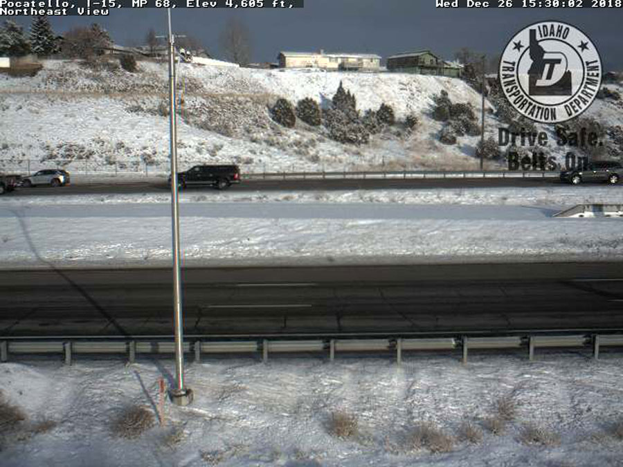
IDAHO FALLS — A winter storm will impact parts of central and eastern Idaho starting Wednesday night and all day on Thursday.
As a result, the National Weather Service has issued a winter storm advisory for the following counties: Bingham, Bannock, Power, Oneida, Blaine and Cassia. Surrounding area such as Bonneville County may also be impacted by the storm, but to a lesser degree.
The storm is expected to hit around 11 p.m. Wednesday until 10 p.m. Thursday, according to NWS officials.
Total snow accumulation of 1 to 2 inches is expected in the valleys, and particularly along the Interstate 84 and Interstate 86 corridor between Burley and Pocatello. At higher elevations, above 7,000 feet, some 3 to 7 inches of snow are expected. The heaviest snow is expected to fall on Thursday morning.
Slippery roads are expected and a light breeze may cause blowing snow, which could reduce visibility. Drivers are urged to use caution on the road. The latest road conditions can be obtained by visiting 511 Idaho.
This weather-related story is brought to you by Pony Express Car Wash, Idaho's premier express car wash destination, renowned for its commitment to exceptional service and quality. Voted the No. 1 car wash company in Idaho for three consecutive years, we pride ourselves on delivering an unparalleled experience for every vehicle and customer. Our state-of-the-art facility utilizes name-brand soaps and cutting-edge equipment to ensure your car receives the ultimate clean. Established in eastern Idaho in 2019, Pony Express is proud to be a locally owned and operated company that caters to the unique car washing needs of our Idaho Friends and neighbors. We invite you to experience the difference at Pony Express, where your satisfaction is our ultimate goal.