
Winter storm to hit eastern Idaho this weekend
Published at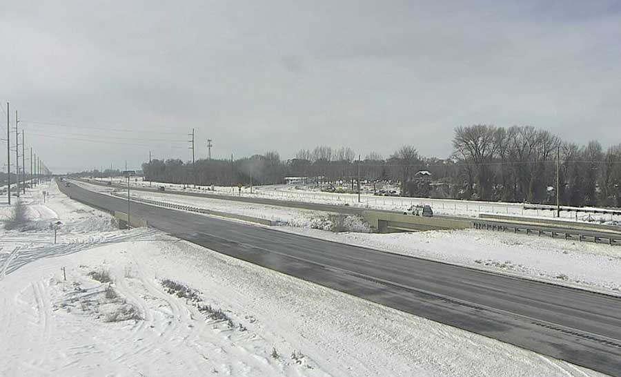
IDAHO FALLS — A strong winter storm moving across the Rocky Mountains is expected to bring moderate to heavy snow and strong wind to parts of eastern Idaho on Saturday and Sunday, according to the National Weather Service.
NWS officials say light snow showers may begin as early as Friday night, but the most significant wind and snow are expected Saturday night and into Sunday.
Two to 4 inches of snow is expected along the Interstate 86 and Interstate 15 corridors impacting American Falls,
Pocatello, Blackfoot and Idaho Falls.
Four to 8 inches of snow is expected in the areas surrounding Arco, Mackay, Mud Lake, the Caribou Highlands, the Bear Lake region and Swan Valley. Higher elevation areas such as the Teton Valley, the Snake River Highlands, or near Island Park might see between 6 and 12 inches of snow.
Officials say the combination of falling, blowing and drifting snow may lead to difficult travel conditions across the region due to snow covered roads and reduced visibility.
For the latest weather report click here.
For the latest road conditions visit 511 Idaho.
This weather-related story is brought to you by Pony Express Car Wash, Idaho's premier express car wash destination, renowned for its commitment to exceptional service and quality. Voted the No. 1 car wash company in Idaho for three consecutive years, we pride ourselves on delivering an unparalleled experience for every vehicle and customer. Our state-of-the-art facility utilizes name-brand soaps and cutting-edge equipment to ensure your car receives the ultimate clean. Established in eastern Idaho in 2019, Pony Express is proud to be a locally owned and operated company that caters to the unique car washing needs of our Idaho Friends and neighbors. We invite you to experience the difference at Pony Express, where your satisfaction is our ultimate goal.