
Winter storm to hit eastern Idaho Tuesday night and Wednesday
Published at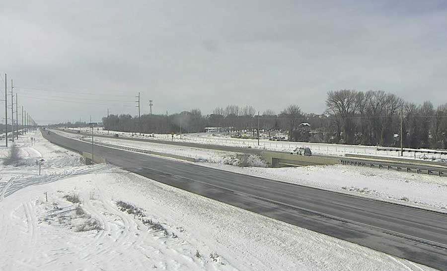
IDAHO FALLS — A winter storm will bring more snow to eastern Idaho starting Tuesday night and all day Wednesday.
The National Weather Service has issued a winter weather advisory for nearly all of Idaho, including the following eastern Idaho counties: Bonneville, Madison, Fremont, Teton, Jefferson, Bingham, Bannock, Franklin, Bear Lake, Onieda, Power, Caribou, and Butte.
At lower elevations, including Idaho Falls, Rexburg and Pocatello, about 2 to 4 inches of snow is expected to fall. Higher elevation areas, such as Ashton, Driggs, Victor, Preston and Soda Springs, will see between 3 to 6 inches of snow.
The worst period of snowfall for everyone will be during the Wednesday morning commute, according to NWS.
The winter weather advisory expires at 11 p.m. Wednesday.
The snow will negatively impact roads. For the latest road conditions visit 511 Idaho.
This weather-related story is brought to you by Pony Express Car Wash, Idaho's premier express car wash destination, renowned for its commitment to exceptional service and quality. Voted the No. 1 car wash company in Idaho for three consecutive years, we pride ourselves on delivering an unparalleled experience for every vehicle and customer. Our state-of-the-art facility utilizes name-brand soaps and cutting-edge equipment to ensure your car receives the ultimate clean. Established in eastern Idaho in 2019, Pony Express is proud to be a locally owned and operated company that caters to the unique car washing needs of our Idaho Friends and neighbors. We invite you to experience the difference at Pony Express, where your satisfaction is our ultimate goal.