
Storm heading toward eastern Idaho this weekend
Published at | Updated at
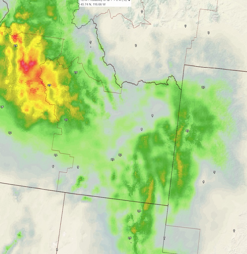
IDAHO FALLS – A storm originating from the Pacific region around Hawaii is headed toward eastern Idaho.
The National Weather Service in Pocatello is forecasting colder temperatures, windy conditions and “substantial” rainfall throughout the Snake River Plain as early as Friday night. There may be some snow in higher elevations.
“The heaviest precipitation will not arrive until Sunday morning through Monday night,” the NWS says. “The amount of liquid water expected with this storm is substantial; if the moisture develops as snow the snow accumulations will be large, in excess of a foot in the mountains and highlands of central and eastern Idaho.”
Windy conditions could cause drifting snow in the mountains. Temperatures are expected to be in the mid-30s.
Slopes facing the south and southwest will see the most impact and the areas most affected will be the Upper Snake River plain, the Wood River Valley and the Bear River Basin.
“Details about snow will be forthcoming, as soon as there is some confidence on how low the snow elevation will be. This is based on air that is still out over the Pacific Ocean where temperatures are more unknown,” meteorologists with the NWS say.
For a complete forecast and current conditions where you live, visit the EastIdahoNews.com weather page here.

This weather-related story is brought to you by Pony Express Car Wash, Idaho's premier express car wash destination, renowned for its commitment to exceptional service and quality. Voted the No. 1 car wash company in Idaho for three consecutive years, we pride ourselves on delivering an unparalleled experience for every vehicle and customer. Our state-of-the-art facility utilizes name-brand soaps and cutting-edge equipment to ensure your car receives the ultimate clean. Established in eastern Idaho in 2019, Pony Express is proud to be a locally owned and operated company that caters to the unique car washing needs of our Idaho Friends and neighbors. We invite you to experience the difference at Pony Express, where your satisfaction is our ultimate goal.