
Rain, snow headed to Idaho as weather makes a ‘significant’ shift. Here’s when
Published atHali Smith, Idaho Statesman
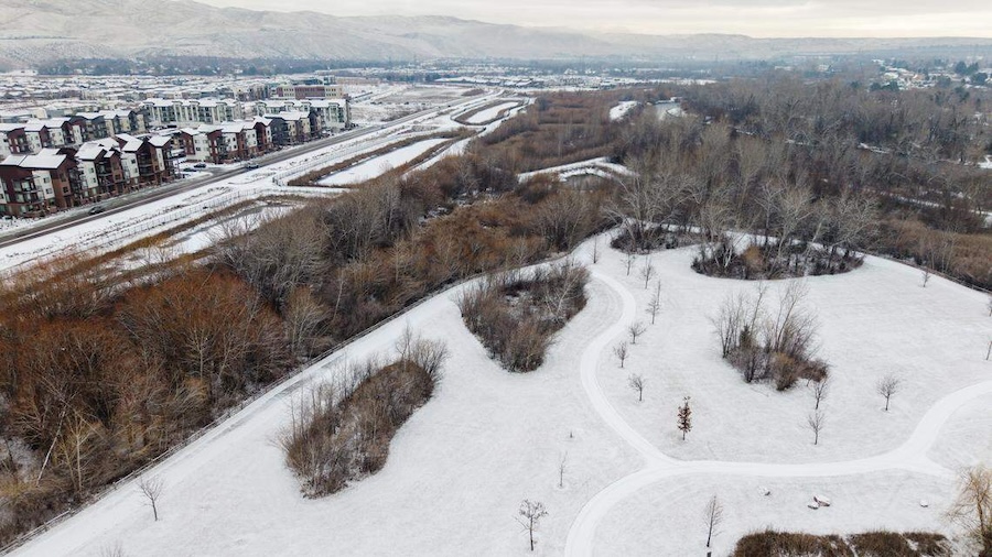
After an unseasonably warm and dry Valentine’s Day, a storm system will settle across Idaho, meteorologists say.
The Gem State experienced a “brief dry period on Friday as a weak ridge moves overhead,” the National Weather Service said in its latest Idaho State Forecast Discussion.
“A more significant weather pattern shift arrives over the weekend and persists through early next week as a series of Pacific storms move inland,” the weather service said in the forecast, published Friday.
Here’s what to expect:
When will Idaho see rain? Snow?
“Widespread precipitation” is expected Monday through Wednesday, according to the National Weather Service’s forecast.
Snow levels will remain at elevations between 3,500 and 5,000 feet, which means “most major valley locations” will see rain or a rain-snow mix, according to the forecast.
Central and north Idaho will likely see the “heaviest mountain snow accumulation,” the weather service said.
According to National Weather Service meteorologist Les Colin, all of Idaho will have a chance for snow later in the week — including the valleys.
“The mountains will get the most, but even down in the valleys, I think it’s reasonable to expect at least an inch of snow late in the week,” Colin told the Idaho Statesman.
Those flurries will primarily land Thursday through Friday he said.
“Temperatures will stay near or slightly above seasonal normals through the weekend before a cooling trend begins mid-week,” the weather service said.
How long will cold, wet weather last?
According to Colin, Idaho will see rain and snow for most of the week.
“It will be drier heading into next weekend, and gradually warmer, but most of the precipitation is going to come during the week before the weekend,” the meteorologist said.
This weather-related story is brought to you by Pony Express Car Wash, Idaho's premier express car wash destination, renowned for its commitment to exceptional service and quality. Voted the No. 1 car wash company in Idaho for three consecutive years, we pride ourselves on delivering an unparalleled experience for every vehicle and customer. Our state-of-the-art facility utilizes name-brand soaps and cutting-edge equipment to ensure your car receives the ultimate clean. Established in eastern Idaho in 2019, Pony Express is proud to be a locally owned and operated company that caters to the unique car washing needs of our Idaho Friends and neighbors. We invite you to experience the difference at Pony Express, where your satisfaction is our ultimate goal.