
Warm and sunny, then a sudden cooldown. Here’s your weather outlook for the week
Published at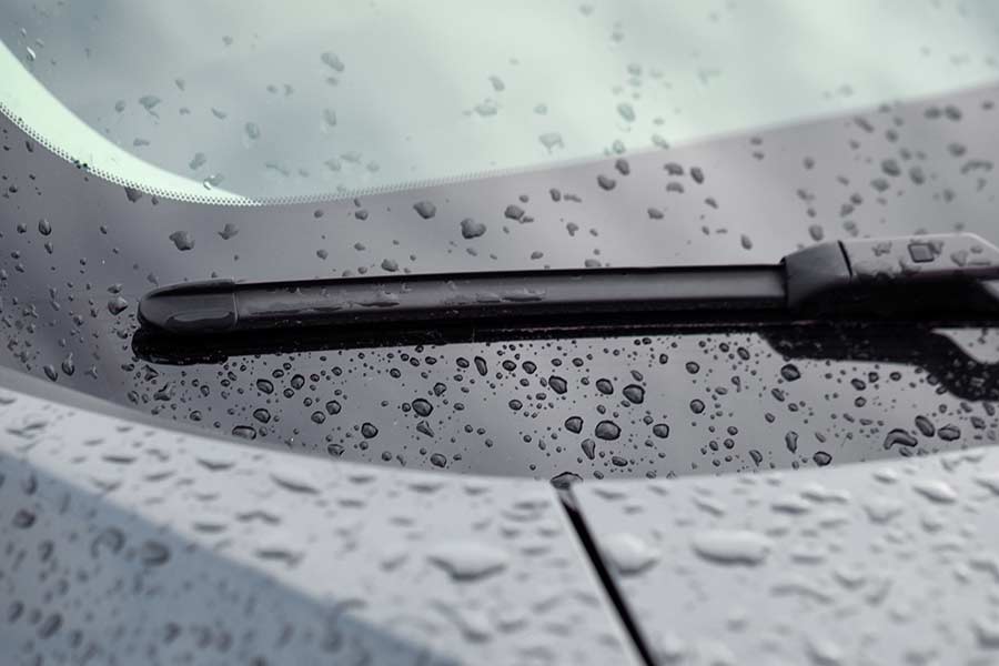
IDAHO FALLS — Sunny skies and warm temperatures are in store for the next several days, but by mid-week, it’s going to be wet and temperatures will dip.
That’s the general outlook from the National Weather Service in Pocatello.
For Monday and Tuesday, National Weather Service meteorologist Audra Moore tells EastIdahoNews.com daytime temperatures will be in the mid- to upper-70s throughout the valley. Overnight temperatures will also be warmer — no frost or freeze warnings are in effect.
By Tuesday night, Moore is forecasting breezy conditions and an increased chance of precipitation with a potential for thunderstorms on Wednesday afternoon.
“Wednesday and Thursday are going to be wet days and temperatures are going to take a tumble,” Moore says. “By Wednesday, we’re looking at highs in the valleys in the 50s. We’ll probably stay in the 50s for the rest of the week. We may get close to 60 (degrees) again by Sunday.”
Up to a quarter of an inch of rain is expected throughout the Snake River Plain on Wednesday and Thursday. Anywhere from 3 to 5 inches of snow is possible along Galena Summit, Pine Creek Pass, Emigration Summit and other mountain passes. Snow totals are subject to change as the week goes on.
Wind gusts between 40 mph and 45 mph are likely throughout east Idaho on Wednesday, with conditions “a little breezy” on Thursday.
“Wednesday will be breezy along and behind that cold front (moving through the area),” says Moore.
Live weather cams and a complete seven-day forecast in your area are available here.
This weather-related story is brought to you by Pony Express Car Wash, Idaho's premier express car wash destination, renowned for its commitment to exceptional service and quality. Voted the No. 1 car wash company in Idaho for three consecutive years, we pride ourselves on delivering an unparalleled experience for every vehicle and customer. Our state-of-the-art facility utilizes name-brand soaps and cutting-edge equipment to ensure your car receives the ultimate clean. Established in eastern Idaho in 2019, Pony Express is proud to be a locally owned and operated company that caters to the unique car washing needs of our Idaho Friends and neighbors. We invite you to experience the difference at Pony Express, where your satisfaction is our ultimate goal.