
Winter storm watch issued in eastern Idaho
Published at | Updated at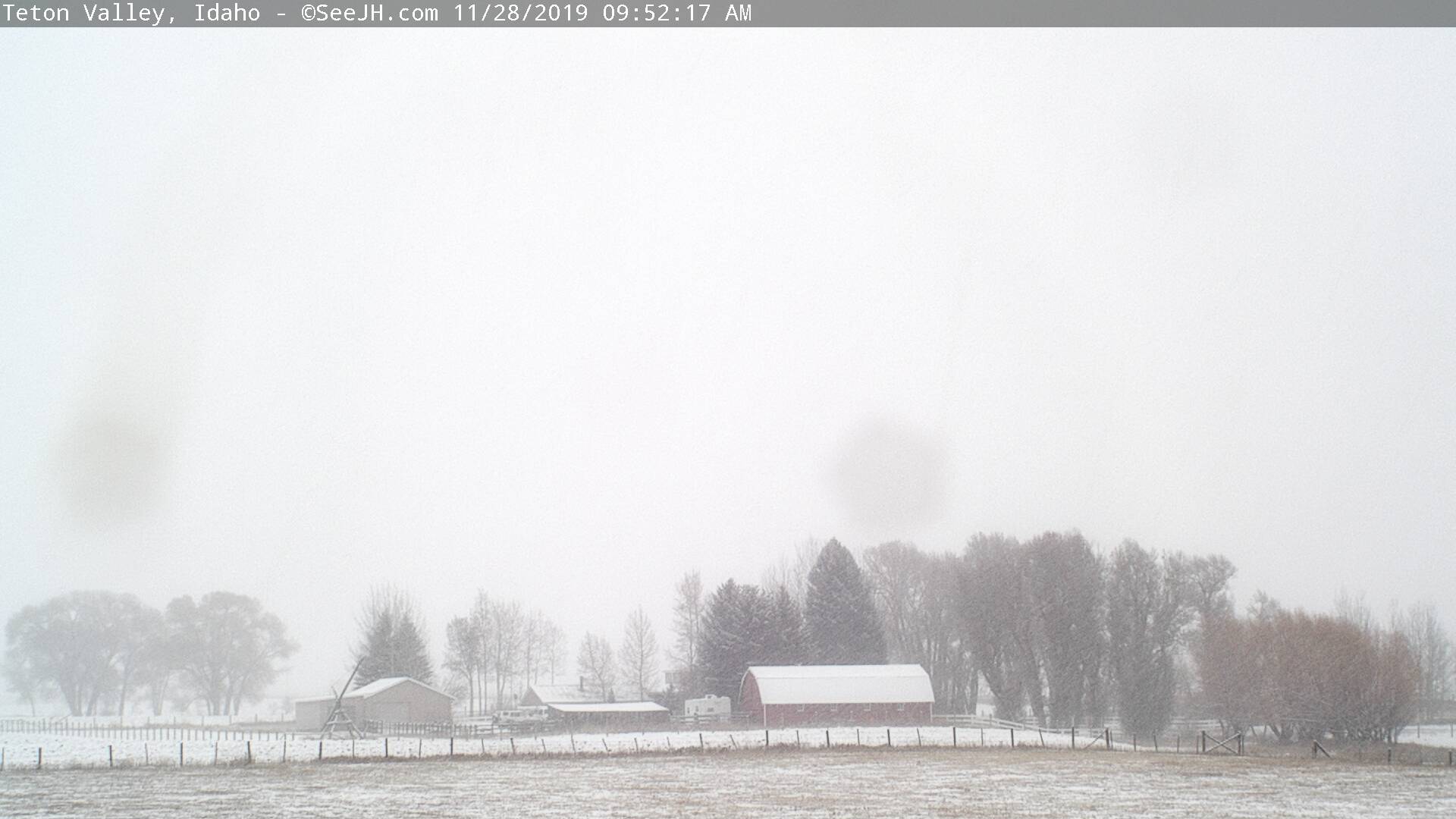
IDAHO FALLS — There is a continued possibility for snow throughout eastern Idaho on Thursday and Friday.
So far this week, snowfall has been very light in and around Idaho Falls, but more severe as you travel to the north and the south. The Idaho Transportation Department is indicating heavy snowfall has occurred along both the Montana and Utah borders.
Highway conditions are listed as difficult north and east of Idaho Falls, and south of McCammon. No roads have been closed.
The National Weather Service is still predicting scattered light snow at lower elevations through late Friday night. Several inches of snow could still fall in some areas, which led to NWS declaring a winter storm watch for most of eastern Idaho.
A winter storm warning remains in effect in Fremont, Clark, west Jefferson, Butte and Custer counties until 5 p.m. Thursday. Several inches may still fall during the morning and the afternoon. It will taper off in the evening, although light snow is still possible afterward.
Officials urge continued caution on the roads. Eastern Idaho saw dozens of crashes and slide-off Wednesday during the first major snow storm of the season. Check road conditions at 511 Idaho.
For a complete forecast visit the EastIdahoNews.com weather page.
This weather-related story is brought to you by Pony Express Car Wash, Idaho's premier express car wash destination, renowned for its commitment to exceptional service and quality. Voted the No. 1 car wash company in Idaho for three consecutive years, we pride ourselves on delivering an unparalleled experience for every vehicle and customer. Our state-of-the-art facility utilizes name-brand soaps and cutting-edge equipment to ensure your car receives the ultimate clean. Established in eastern Idaho in 2019, Pony Express is proud to be a locally owned and operated company that caters to the unique car washing needs of our Idaho Friends and neighbors. We invite you to experience the difference at Pony Express, where your satisfaction is our ultimate goal.