



Day 7: Big Rock Fire’s official cause released as it continues to burn near Heise
Published at | Updated at
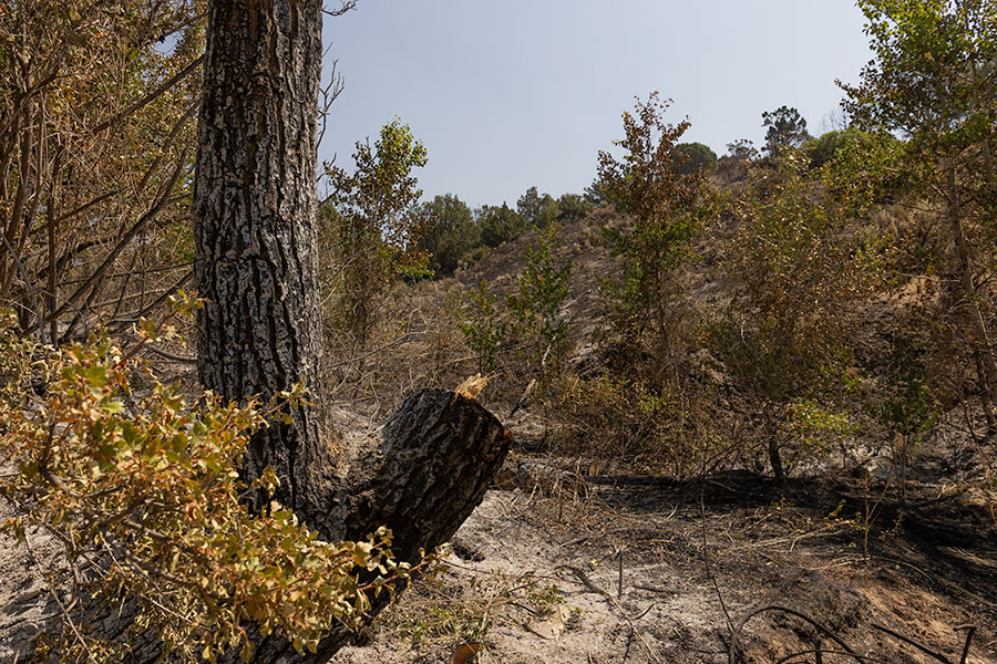
HEISE — Firefighters are making progress in containing the Big Rock Fire.
According to the U.S. Wildfire Service-Great Basin, the fire has burned 2,149 acres and was 30% contained as of Thursday morning, with 305 personnel fighting the fire.
The official cause of the fire was determined to be lightning.
RELATED | Wildfire smoke chokes eastern Idaho as air quality alerts expand across region
“An aggressive full-suppression strategy is in place for the Big Rock Fire to protect communities, structures, critical infrastructure, and other valuable resources at risk,” according to a news release from USWFS. “Firefighter and public safety are (a) priority over all other incident objectives and incident requirements. Operational decisions prioritize firefighter and public safety, selecting actions that maximize success while minimizing risk.”
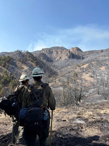
Officials say there have been no injuries to firefighters or the public, and no homes have been lost. The acreage has been reduced slightly because of more accurate mapping.
According to the news release, the fire has remained within its existing perimeter, and crews have increased containment to 30% on the northern flank above Cress Creek and moving east towards the state endowment lands.
Active fire activity has decreased, but heat and smoldering materials remain throughout the burned area, including the occasional torching juniper.
“As direct firefighting activity moves more into the mop-up phase of containment, additional engines are arriving to support the effort,” according to the release. “Operational focus has moved to achieving containment along the Heise and Kelly Canyon Roads to reestablish public access in the area.”
Officials say crews are continuing to move further inside the containment lines, searching for hot spots, burning snags and root systems, with support from the engines.
They are currently working to reinforce and widen the lines on the hill north of Kelly Canyon and state endowment lands to the north.
“Crews are working hard to secure the South Snake River Road and Heise Road, pushing further uphill to remove hazard snags and eliminate heat, and extinguishing hotspots,” says the release. “Firefighters also continued to focus on expanding the perimeters around the residences where smoldering fuels continue to threaten structures. As of (Thursday morning), none of the southern flank around the roads is contained.”
According to USWFS, Thursday’s weather forecast is sunny, with temperatures in the low to mid 90s and humidity 12 to 16%. Winds are predicted at 5 to 10 mph out of the southeast in the morning, switching to the west in the afternoon.
There is 0% chance of rain in the near forecast, and temperatures are expected to climb higher by the weekend.
Evacuations
Roads remain closed to everyone else; and officials ask that the public continue to avoid the area.
Cress Creek, Heise, Kelly Canyon, Stinking Springs, Wolf Flats, and Table Rock remain closed. Follow responder instructions. See the map here.
Area closures
Several closures remain in place to ensure the safety of the public and firefighters engaged in suppression operations on the Big Rock Fire. Reference the following websites for specific closure information:
BLM-managed public lands in Idaho, Public Input & Actions page at Idaho | Bureau of Land Management
Caribou-Targhee National Forest Alerts
Idaho Department of Lands Recent Wildfire Alerts
As of Wednesday, the BLM’s closure for river camping at designated camp sites within the South Fork of the Snake River Canyon, from Conant Boat Access to Byington Boat Access has been lifted.
The BLM closures for camping at Kelly Island Campground, Wolf Flats, Warm Springs and other sites along the River Road remain in effect.
Area closures related to Cress Creek Nature Trail and Stinking Springs trail, and all other hiking and biking trails in the Kelly Canyon and Heise areas remain in effect.
This weather-related story is brought to you by Pony Express Car Wash, Idaho's premier express car wash destination, renowned for its commitment to exceptional service and quality. Voted the No. 1 car wash company in Idaho for five consecutive years, we pride ourselves on delivering an unparalleled experience for every vehicle and customer. Our state-of-the-art facility utilizes name-brand soaps and cutting-edge equipment to ensure your car receives the ultimate clean. Established in eastern Idaho in 2019, Pony Express is proud to be a locally owned and operated company that caters to the unique car washing needs of our Idaho Friends and neighbors. We invite you to experience the difference at Pony Express, where your satisfaction is our ultimate goal.