



Flash flood watch issued as heavy rain targets eastern Idaho
Published at
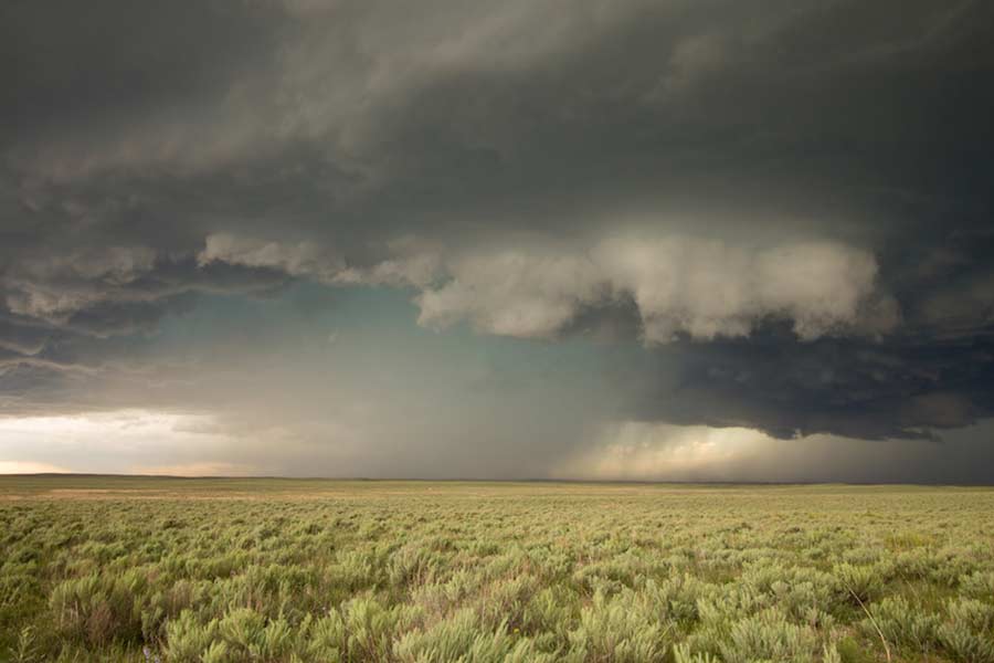
IDAHO FALLS — Moderate to heavy rain is expected throughout eastern Idaho Thursday and Friday, which could result in localized flash flooding in some areas.
That’s the latest forecast from the National Weather Service in Pocatello. In a Wednesday afternoon email, the agency says “an abnormally moist airmass” moving through the area will result in cooler temperatures, along with showers and thunderstorms. Rain is likely to begin on Thursday and continue through the weekend.
Over the next two days, meteorologists are forecasting daytime temperatures in the upper 70s and low 80s.
Rain is most likely in the Rexburg, Idaho Falls, and Pocatello areas, where a flash flood watch is in effect, according to the NWS website. Recently burned areas are also subject to showers.
“The Big Rock burn scar east of Idaho Falls and the Double Springs burn scar near Mount Bora are particularly sensitive to flash flooding or debris flows on Thursday and Friday,” the NWS reports.
RELATED | Day 11: Officials release final Big Rock Fire update, but area closures remain in place
Other areas, like the Ohio burn scar south of Ketchum, and the Wapiti burn scar north and west of Stanley, also have a high chance of rain or flash flooding.
Anyone living in these areas is urged to be prepared for potential downpours and debris flows.
“Outside of the burn scar areas, any thunderstorms that develop are expected to be efficient rain producers with rain rates approaching 1-inch per hour,” forecasters say. “Any slow-moving or training thunderstorms could quickly inundate an area, leading to localized flooding.”
RELATED | Heavy rain could trigger flash flooding in eastern Idaho Wednesday
This is the fourth flash flood watch in eastern Idaho in the last month. A similar event happened in areas near the Wyoming border on July 21. On July 16, flash flooding happened in a concentrated area of Pocatello. Multiple slow-moving storms resulted in several inches of rain near South 5th Avenue. The following day, the Pocatello bureau issued another flash flood watch for the Driggs area.
RELATED | Slow-moving storms unleash flash flooding in Pocatello neighborhoods
RELATED | NWS issues flash flood warning for Driggs and Victor
In addition to showers, the Pocatello bureau says in a Wednesday night Facebook post that wind gusts of 45 to 55 mph are possible. Rock or mud slides could occur in some areas as well.
“Anyone (traveling through the area) should be ready for quickly changing weather conditions and be prepared to make adjustments if necessary,” reports the NWS in Pocatello.
EastIdahoNews.com will provide weather updates as we receive them. For the latest conditions and a complete seven-day forecast in your area, click here.
This weather-related story is brought to you by Pony Express Car Wash, Idaho's premier express car wash destination, renowned for its commitment to exceptional service and quality. Voted the No. 1 car wash company in Idaho for five consecutive years, we pride ourselves on delivering an unparalleled experience for every vehicle and customer. Our state-of-the-art facility utilizes name-brand soaps and cutting-edge equipment to ensure your car receives the ultimate clean. Established in eastern Idaho in 2019, Pony Express is proud to be a locally owned and operated company that caters to the unique car washing needs of our Idaho Friends and neighbors. We invite you to experience the difference at Pony Express, where your satisfaction is our ultimate goal.