
Snow expected in eastern Idaho on Friday
Published at | Updated at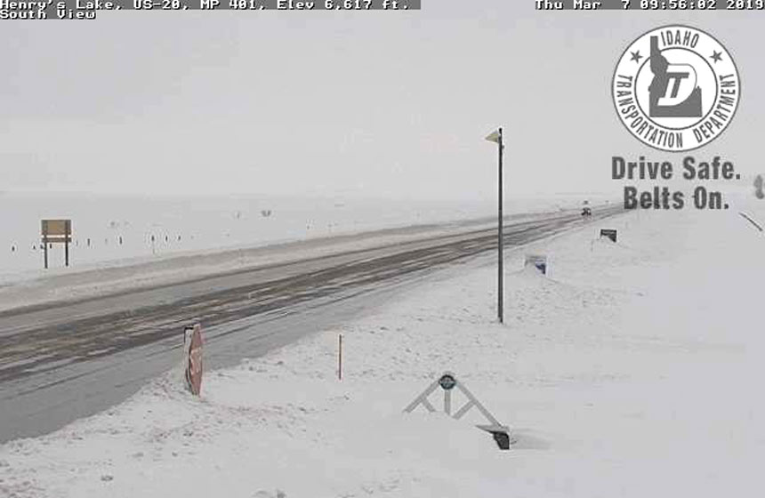
IDAHO FALLS — A cold front is expected to move across eastern Idaho starting Thursday night, and it is expected to bring at least some snow to large sections of eastern Idaho.
In lower elevation areas, including Burley, American Falls, Aberdeen, Pocatello, Fort Hall, Blackfoot and Idaho Falls, between 1 to 3 inches of snow are forecast between early Friday morning and late that night. Gusty winds are also forecast in the area, which may cause blowing and drifting snow on roads.
NWS officials say snowfall will be heaviest during Friday morning, particularly along the Interstate 15 corridor.
Heavier snow is expected at areas in higher elevations. A winter storm advisory is in effect in the following counties: Clark, Fremont, Teton, eastern Madison, eastern Bonneville, Caribou, Franklin, Oneida, Bear Lake, Bannock and Power. These areas may see between 3 to 6 inches of snow.
For the latest road conditions, visit 511 Idaho.
For a complete forecast visit the EastIdahoNews.com weather page.
This weather-related story is brought to you by Pony Express Car Wash, Idaho's premier express car wash destination, renowned for its commitment to exceptional service and quality. Voted the No. 1 car wash company in Idaho for three consecutive years, we pride ourselves on delivering an unparalleled experience for every vehicle and customer. Our state-of-the-art facility utilizes name-brand soaps and cutting-edge equipment to ensure your car receives the ultimate clean. Established in eastern Idaho in 2019, Pony Express is proud to be a locally owned and operated company that caters to the unique car washing needs of our Idaho Friends and neighbors. We invite you to experience the difference at Pony Express, where your satisfaction is our ultimate goal.