
Cold temperatures, and possible snow predicted between Saturday and Tuesday in eastern Idaho
Published at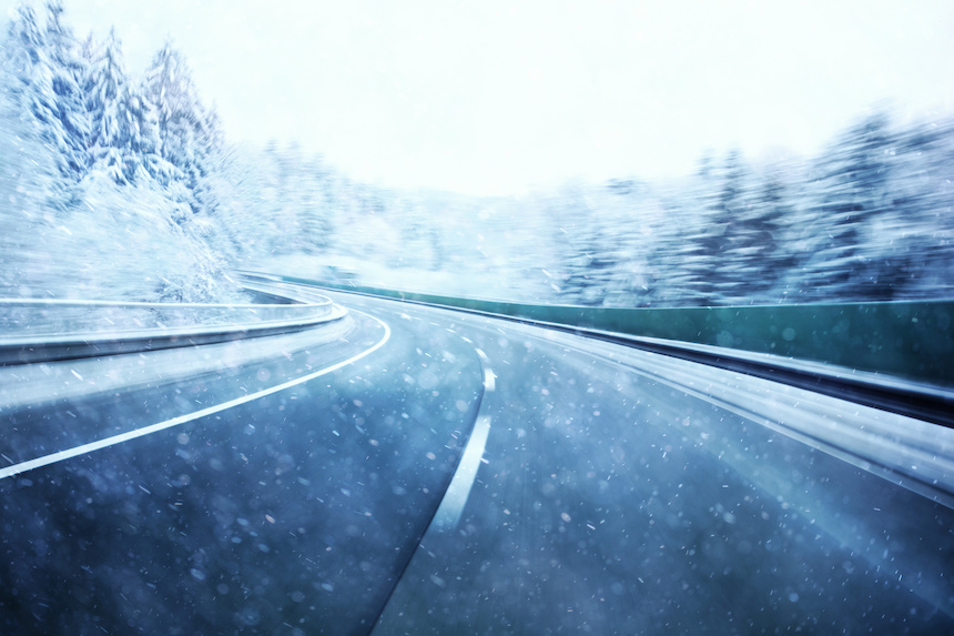
IDAHO FALLS — Temperatures will drop this weekend throughout the Gem State and the region may see freezing rain or snow.
The National Weather Service predicts a long-duration storm will arrive by Saturday and continue through until Tuesday, bringing much colder temperatures and multiple rounds of rain and snow to eastern Idaho.
Meteorologists say it is still too early to predict exactly who will receive snow or how much. However, accumulating snow may impact most higher-elevation highways and mountain passes across the region, and could mix to valley floors in overnight showers.
Temperatures are expected to drop into the upper 40s and low 50s during the day starting Saturday. Lows will drop to near or below freezing across the region at night.
The EastIdahoNews.com 7-day forecast shows there a chance of snow showers between Saturday and Tuesday in the following cities: Idaho Falls, Rexburg, St. Anthony, Arco, Mud Lake, Lava Hot Springs, Malad, Preston, and Thatcher, Pocatello, Blackfoot, American Falls, Howe, Arco, Mackay, Chilly, and Challis, Driggs, Wayan, Swan Valley, and Victor, Ashton, Tetonia, Island Park, Kilgore, Dubois, Spencer, St. Charles, Montpelier, and Georgetown.
Areas above 6,000 are more likely to get snow than the valleys.
For a complete forecast visit the EastIdahoNews.com weather page.
This weather-related story is brought to you by Pony Express Car Wash, Idaho's premier express car wash destination, renowned for its commitment to exceptional service and quality. Voted the No. 1 car wash company in Idaho for three consecutive years, we pride ourselves on delivering an unparalleled experience for every vehicle and customer. Our state-of-the-art facility utilizes name-brand soaps and cutting-edge equipment to ensure your car receives the ultimate clean. Established in eastern Idaho in 2019, Pony Express is proud to be a locally owned and operated company that caters to the unique car washing needs of our Idaho Friends and neighbors. We invite you to experience the difference at Pony Express, where your satisfaction is our ultimate goal.