Weather - East Idaho News

Weather by region

Wind Advisory for Idaho Falls

* WHAT...West winds 30 to 40 mph with gusts up to 55 mph expected. * WHERE...Lost River Valley, Wood River Foothills, Beaverhead - Lemhi Highlands, Eastern Magic Valley, Shoshone/Lava Beds, Arco/Mud Lake Desert, Lower Snake River Plain, Raft River Region, Southern Hills/Albion Mountains, and Upper Snake River Plain. * WHEN...From noon Monday to midnight MDT Monday Night. * IMPACTS...Gusty winds could make driving difficult, especially for high profile vehicles. Unsecured objects may be blown around. -- NWS Pocatello ID

Flood Warning for Pocatello

...The Flood Warning continues for the following rivers in Idaho... Portneuf River at Pocatello affecting Bannock County. * WHAT...Moderate flooding is occurring and moderate flooding is forecast. * WHERE...Portneuf River at Pocatello. * WHEN...Until further notice. * IMPACTS...At 8.0 feet, Water will encroach onto portions of the bike and walking trail next to the river in Sacajawea Park in Pocatello. At 8.5 feet, Sections of Sacajawea Park will be under water and the trail is usually closed at this level. Marsh Creek near Inkom may also be over its banks. At 9.2 feet, Flooding of low lying agricultural land and pasture will occur in the Inkom and Blackrock area. Lowland flooding is likely along sections of the river between Portneuf Gap and the Cheyenne Avenue Bridge in Pocatello. At 9.4 feet, Water will encroach around sitting benches near the river at the Pacific Recycling Trailhead. At 10.0 feet, Significant flooding of agricultural land will occur from the Inkom and Blackrock area. Lowland flooding will occur along sections of the river in Pocatello from Portneuf Gap to the Cheyenne Avenue Bridge and downstream of the concrete channel beginning at Sacajawea Park. * ADDITIONAL DETAILS... - At 1:45 PM MDT Sunday the stage was 10.1 feet. - Recent Activity...The maximum river stage in the 24 hours ending at 1:45 PM MDT Sunday was 10.2 feet. - Forecast...The river is expected to rise to a crest of 10.2 feet tomorrow evening. - Flood stage is 8.5 feet. - Flood History...This crest compares to a previous crest of 10.1 feet on 02/02/1963. - http://www.weather.gov/safety/flood -- NWS Pocatello ID

Wind Advisory for Rexburg

* WHAT...West winds 30 to 40 mph with gusts up to 55 mph expected. * WHERE...Lost River Valley, Wood River Foothills, Beaverhead - Lemhi Highlands, Eastern Magic Valley, Shoshone/Lava Beds, Arco/Mud Lake Desert, Lower Snake River Plain, Raft River Region, Southern Hills/Albion Mountains, and Upper Snake River Plain. * WHEN...From noon Monday to midnight MDT Monday Night. * IMPACTS...Gusty winds could make driving difficult, especially for high profile vehicles. Unsecured objects may be blown around. -- NWS Pocatello ID

Wind Advisory for Rigby

* WHAT...West winds 30 to 40 mph with gusts up to 55 mph expected. * WHERE...Lost River Valley, Wood River Foothills, Beaverhead - Lemhi Highlands, Eastern Magic Valley, Shoshone/Lava Beds, Arco/Mud Lake Desert, Lower Snake River Plain, Raft River Region, Southern Hills/Albion Mountains, and Upper Snake River Plain. * WHEN...From noon Monday to midnight MDT Monday Night. * IMPACTS...Gusty winds could make driving difficult, especially for high profile vehicles. Unsecured objects may be blown around. -- NWS Pocatello ID

Wind Advisory for Blackfoot

* WHAT...West winds 30 to 40 mph with gusts up to 55 mph expected. * WHERE...Lost River Valley, Wood River Foothills, Beaverhead - Lemhi Highlands, Eastern Magic Valley, Shoshone/Lava Beds, Arco/Mud Lake Desert, Lower Snake River Plain, Raft River Region, Southern Hills/Albion Mountains, and Upper Snake River Plain. * WHEN...From noon Monday to midnight MDT Monday Night. * IMPACTS...Gusty winds could make driving difficult, especially for high profile vehicles. Unsecured objects may be blown around. -- NWS Pocatello ID

Wind Advisory for St. Anthony

* WHAT...West winds 30 to 40 mph with gusts up to 55 mph expected. * WHERE...Lost River Valley, Wood River Foothills, Beaverhead - Lemhi Highlands, Eastern Magic Valley, Shoshone/Lava Beds, Arco/Mud Lake Desert, Lower Snake River Plain, Raft River Region, Southern Hills/Albion Mountains, and Upper Snake River Plain. * WHEN...From noon Monday to midnight MDT Monday Night. * IMPACTS...Gusty winds could make driving difficult, especially for high profile vehicles. Unsecured objects may be blown around. -- NWS Pocatello ID

Idaho Falls, ID at 11:22 pm MDT

46℉

Feels like 40℉

clear sky

weather-icon
High 56°  Low 35°

Pressure: 1013 hPa

Dew Point: 30℉

Clouds: 0%

Humidity: 52%

UV Index: 0.00

Visibility: 6.23 miles

Wind Speed

14 mph

Wind Dir

wind degrees: 190

Today's Gust

28 mph

Pocatello, ID at 11:22 pm MDT

47℉

Feels like 41℉

clear sky

weather-icon
High 55°  Low 38°

Pressure: 1007 hPa

Dew Point: 31℉

Clouds: 0%

Humidity: 54%

UV Index: 0.00

Visibility: 6.23 miles

Wind Speed

13 mph

Wind Dir

wind degrees: 200

Today's Gust

26 mph

Rexburg, ID at 11:22 pm MDT

45℉

Feels like 39℉

clear sky

weather-icon
High 55°  Low 37°

Pressure: 1014 hPa

Dew Point: 26℉

Clouds: 0%

Humidity: 46%

UV Index: 0.00

Visibility: 6.23 miles

Wind Speed

12 mph

Wind Dir

wind degrees: 180

Today's Gust

28 mph

Rigby, ID at 11:22 pm MDT

45℉

Feels like 42℉

overcast clouds

weather-icon
High 56°  Low 36°

Pressure: 1013 hPa

Dew Point: 29℉

Clouds: 98%

Humidity: 52%

UV Index: 0.00

Visibility: 6.23 miles

Wind Speed

5 mph

Wind Dir

wind degrees: 183

Today's Gust

29 mph

Blackfoot, ID at 11:22 pm MDT

47℉

Feels like 41℉

overcast clouds

weather-icon
High 56°  Low 37°

Pressure: 1013 hPa

Dew Point: 31℉

Clouds: 100%

Humidity: 54%

UV Index: 0.00

Visibility: 6.23 miles

Wind Speed

13 mph

Wind Dir

wind degrees: 189

Today's Gust

26 mph

St. Anthony, ID at 11:22 pm MDT

45℉

Feels like 40℉

clear sky

weather-icon
High 53°  Low 36°

Pressure: 1014 hPa

Dew Point: 26℉

Clouds: 0%

Humidity: 46%

UV Index: 0.00

Visibility: 6.23 miles

Wind Speed

12 mph

Wind Dir

wind degrees: 180

Today's Gust

28 mph

Island Park, ID at 11:22 pm MDT

40℉

Feels like 37℉

overcast clouds

weather-icon
High 45°  Low 33°

Pressure: 1014 hPa

Dew Point: 36℉

Clouds: 100%

Humidity: 84%

UV Index: 0.00

Visibility: 6.23 miles

Wind Speed

5 mph

Wind Dir

wind degrees: 169

Today's Gust

23 mph

Driggs, ID at 11:22 pm MDT

40℉

Feels like 33℉

clear sky

weather-icon
High 45°  Low 32°

Pressure: 1014 hPa

Dew Point: 29℉

Clouds: 0%

Humidity: 62%

UV Index: 0.00

Visibility: 6.23 miles

Wind Speed

12 mph

Wind Dir

wind degrees: 140

Today's Gust

16 mph

Daily Forecast

Sun 28

overcast clouds

56℉

35℉

Mon 29

light rain

58℉

39℉

Tue 30

few clouds

50℉

30℉

Wed 1

rain and snow

47℉

32℉

Thu 2

rain and snow

51℉

31℉

Fri 3

light rain

55℉

33℉

Sun 28

broken clouds

55℉

38℉

Mon 29

light rain

58℉

38℉

Tue 30

few clouds

53℉

30℉

Wed 1

rain and snow

43℉

32℉

Thu 2

rain and snow

52℉

30℉

Fri 3

rain and snow

57℉

36℉

Sun 28

light rain

55℉

37℉

Mon 29

light rain

57℉

38℉

Tue 30

light snow

49℉

30℉

Wed 1

rain and snow

46℉

32℉

Thu 2

rain and snow

50℉

31℉

Fri 3

light rain

55℉

32℉

Sun 28

light rain

56℉

36℉

Mon 29

light rain

58℉

38℉

Tue 30

light snow

49℉

29℉

Wed 1

rain and snow

47℉

32℉

Thu 2

rain and snow

50℉

31℉

Fri 3

light rain

54℉

32℉

Sun 28

overcast clouds

56℉

37℉

Mon 29

overcast clouds

59℉

39℉

Tue 30

scattered clouds

51℉

31℉

Wed 1

rain and snow

47℉

33℉

Thu 2

rain and snow

52℉

31℉

Fri 3

light rain

58℉

35℉

Sun 28

light rain

53℉

36℉

Mon 29

light rain

56℉

38℉

Tue 30

light snow

48℉

30℉

Wed 1

rain and snow

46℉

32℉

Thu 2

light rain

49℉

32℉

Fri 3

rain and snow

53℉

31℉

Sun 28

rain and snow

45℉

33℉

Mon 29

rain and snow

48℉

28℉

Tue 30

light snow

41℉

25℉

Wed 1

snow

37℉

24℉

Thu 2

light snow

39℉

23℉

Fri 3

rain and snow

46℉

24℉

Sun 28

rain and snow

45℉

32℉

Mon 29

rain and snow

50℉

31℉

Tue 30

light snow

41℉

26℉

Wed 1

snow

36℉

24℉

Thu 2

snow

39℉

24℉

Fri 3

rain and snow

44℉

26℉

Weather-related stories

More Weather Stories

Webcams

Webcams from state road agencies unless otherwise noted.

Antelope Flats US-26 Northwest Antelope Flats US-26 Southeast

Antelope Flats

Blackfoot I-15 Blackfoot I-15

Blackfoot

Fall River US 20 Fall River US 20

Fall River

 Gem Valley US-30 Gem Valley US-30

Gem Valley

Idaho Falls I-15 Idaho Falls I-15

Idaho Falls

Osgood I-15 Osgood I-15

Osgood

Sage Junction I-15 Sage Junction I-15

Sage Junction

INL Puzzle US 20 INL Puzzle US 20

INL Puzzle

Ucon US 20 Ucon US 20

Ucon

Thornton US 20 Thornton US 20

Thornton (near Rexburg)

Henrys Lake US-20 Henrys Lake US-20

Henrys Lake

Ririe US 26 Ririe US 26

Ririe

Osborne Bridge US-20 Island Park US-20

Osborne Bridge US-20

Sheep Falls US-20 Sheep Falls US-20

Sheep Falls (near Ashton)

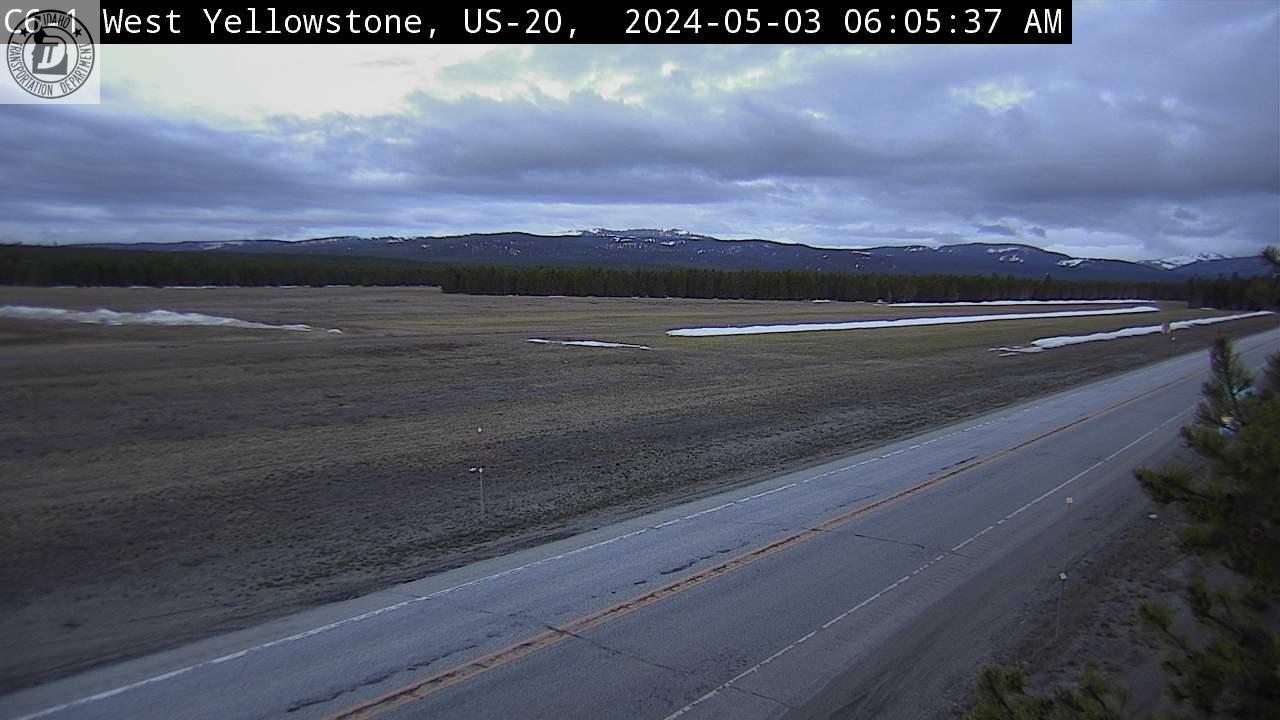
West Yellowstone US-20

West Yellowstone

Botts Idaho 33 Botts Idaho 33

Botts (near Newdale)

Teton Pass Teton Pass

Teton Pass

Jackson Hole

Webcam from seejh.com
Juniper I-84 Northeast Juniper I-84 West

Juniper

Gilmore Summit ID-28 Gilmore Summit ID-28

Gilmore Summit

Palisades US-26 Palisades US-26

Palisades

Pocatello Chubbuck

Pocatello/Chubbuck

Malad I-15 Malad I-15

Malad (Utah/Idaho line)