
Flood watch issued for much of eastern Idaho on Thursday
Published at | Updated at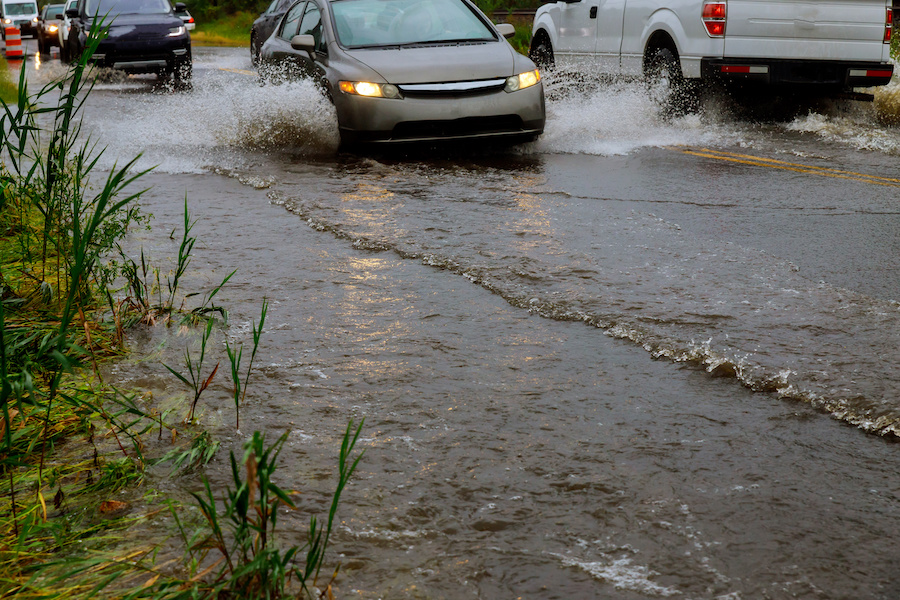
POCATELLO — The National Weather Service in Pocatello issued a flood watching Thursday morning. The watch is specifically in place for flash flooding and has been issued for all of eastern Idaho. The watch is in place through Thursday evening.
Part of the reason for the wide watch area is that the south hills (the areas between Rockland to Bear Lake), have seen almost two inches of rain over the past 48 hours. Flash flooding, the warning states, isn’t currently likely, but any area that has seen repeated rain or thunderstorms this week could experience localized flooding.

“The ground is pretty saturated,” meteorologist Dawn Harmon of the NWS told EastIdahoNews.com. With more rain and thunderstorms in the forecast, these areas will be, “particularly susceptible to localized flash flooding issues.”
The weather service anticipates the most rain between 1 p.m. and 8 p.m. The heaviest rain is likely to occur in the areas from Pocatello and Soda Springs up to Rexburg and Driggs.
“That, sort of, box will probably see the most rain,” Harmon said, but emphasized a much larger area is under flood watch.
Remain aware of the weather and monitor the radar if you are concerned about any susceptible areas across eastern Idaho.
Find the latest local weather at EastIdahoNews.com.
This weather-related story is brought to you by Pony Express Car Wash, Idaho's premier express car wash destination, renowned for its commitment to exceptional service and quality. Voted the No. 1 car wash company in Idaho for three consecutive years, we pride ourselves on delivering an unparalleled experience for every vehicle and customer. Our state-of-the-art facility utilizes name-brand soaps and cutting-edge equipment to ensure your car receives the ultimate clean. Established in eastern Idaho in 2019, Pony Express is proud to be a locally owned and operated company that caters to the unique car washing needs of our Idaho Friends and neighbors. We invite you to experience the difference at Pony Express, where your satisfaction is our ultimate goal.