
Near-blizzard conditions possible in eastern Idaho this week
Published at | Updated at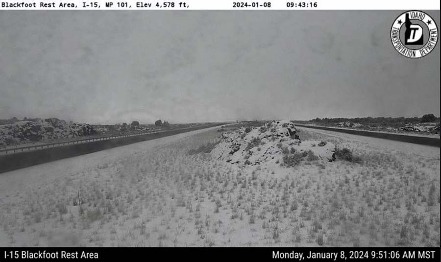
POCATELLO — A storm could bring near-blizzard conditions to eastern Idaho on Tuesday and Wednesday, according to the National Weather Service in Pocatello.
A winter storm watch is in effect from early Tuesday morning through late Wednesday morning, with moderate to heavy snow and strong winds possible.
Total snow accumulations of 3 to 6 inches are possible in Pocatello, Blackfoot, Inkom, Lava Hot Springs, Malad and Preston. Winds could gust as high as 60 mph, the watch said.
Idaho Falls and Rexburg could see 3 inches of snow, according to a weather graphic.
Places like Victor, Swan Valley, Ashton, Tetonia, Driggs and Island Park could experience 4 to 8 inches of snow with wind gusts as high as 45 mph.
“While snowfall totals alone aren’t extreme, it’s the combination of snow and wind that will make this storm impactful,” the watch said.
Travel could be very difficult, and areas could experience blowing and drifting snow, reducing visibility.
Click here to monitor the latest weather conditions. Click here to check the latest road conditions.


This weather-related story is brought to you by Pony Express Car Wash, Idaho's premier express car wash destination, renowned for its commitment to exceptional service and quality. Voted the No. 1 car wash company in Idaho for three consecutive years, we pride ourselves on delivering an unparalleled experience for every vehicle and customer. Our state-of-the-art facility utilizes name-brand soaps and cutting-edge equipment to ensure your car receives the ultimate clean. Established in eastern Idaho in 2019, Pony Express is proud to be a locally owned and operated company that caters to the unique car washing needs of our Idaho Friends and neighbors. We invite you to experience the difference at Pony Express, where your satisfaction is our ultimate goal.