
UPDATE Winter weather advisories expanded to most of east Idaho
Published at | Updated at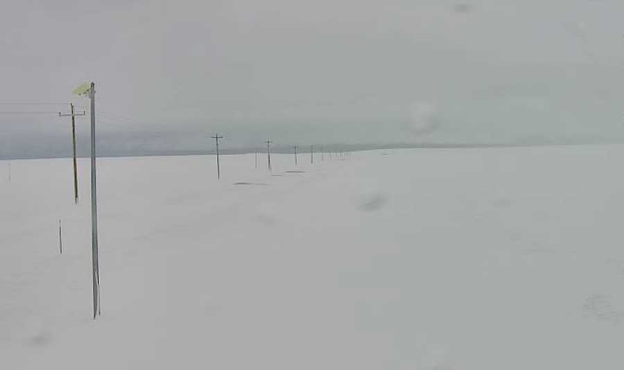
UPDATE:
The National Weather Service has expanded tonight and tomorrow’s winter weather advisory to include the following counties: Bonneville, Madison, Fremont, Teton, Jefferson, Bingham, Bannock, Caribou, Franklin, Onieda, Power and Clark. Areas of lower elevation can expect between 2 and 7 inches of snow, while areas of higher elevation, may see as much as 6 to 12 inches of snowfall.
Additionally, a more severe winter storm warning has been issued along the Idaho/Wyoming border in parts of Bonneville, Caribou, Bear Lake and Teton counties. These areas could see as much as 10 to 17 inches at the highest elevations.
ORIGINAL STORY:
IDAHO FALLS — A significant portion of eastern Idaho will see snowfall starting Tuesday evening.
The National Weather Service has issued a winter weather advisory between 8 p.m. Tuesday to 8 p.m. Wednesday in the following counties: Fremont, Teton, Madison, Bonneville, Bingham, Caribou, Bear Lake and Franklin. The area includes the city of Idaho Falls, Rigby, Rexburg, Driggs and St. Anthony.
Areas of lower elevation can expect between 2 and 7 inches of snow, while areas of higher elevation, may see as much as 6 to 12 inches of snowfall.
Gusty winds may produce areas of blowing snow, especially in broad open areas and in mountain passes.
The advisories extend into western Wyoming, and southern Montana, which will also see significant snowfall during the same period.
Officials urge caution on the roadways, as travel conditions may become difficult. Check out local road conditions at 511 Idaho.
For a complete forecast visit the EastIdahoNews.com weather page.
This weather-related story is brought to you by Pony Express Car Wash, Idaho's premier express car wash destination, renowned for its commitment to exceptional service and quality. Voted the No. 1 car wash company in Idaho for three consecutive years, we pride ourselves on delivering an unparalleled experience for every vehicle and customer. Our state-of-the-art facility utilizes name-brand soaps and cutting-edge equipment to ensure your car receives the ultimate clean. Established in eastern Idaho in 2019, Pony Express is proud to be a locally owned and operated company that caters to the unique car washing needs of our Idaho Friends and neighbors. We invite you to experience the difference at Pony Express, where your satisfaction is our ultimate goal.