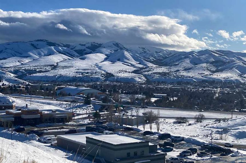
It was a record-breaking weather weekend in Pocatello
Published at
POCATELLO — The Gate City had a record-breaking amount of weather this weekend.
Three different precipitation records were broken on Friday and Saturday. The National Weather Service in Pocatello reports the Gate City got 1.16 inches of precipitation on March 1, beating the previous record of .76 inches in 2014. On March 2, the city received .85 inches of precipitation — the previous record was .74 inches.
To put the records in context, 1.16 inches of precipitation is the average amount seen over the entire month of March.
“That’s all of our average March precipitation falling in one day,” said Erica Cropp, a meteorologist at the National Weather Service.
The city also beat another record dating back seven decades. It got 2.01 inches of precipitation over two days. The previous record was 1.86 inches and it happened on June 21 and 22, 1948.
The NWS got its precipitation data from a climate site at the Pocatello Regional Airport.
Though the weather stayed fairly warm early on, it got colder on Saturday night, resulting in a frozen layer of snow under fluffy snow.
The amount of precipitation, combined with the wind and other factors, makes it difficult for those who are traveling.
“We have this heavy, dense, wet snow that’s really difficult to move and it’s frozen over and then we’ve got this light fluffy snow that’s falling on top,” Cropp said. “Now it’s blowing on the highways. The last several days (have) been a disaster for people to plan for.”
While Pocatello didn’t set any snowfall records, that isn’t representative of the total precipitation that fell on the area.
“What’s more important when it comes to precipitation is the actual water content in the snowfall. You can have a really wet snow of six inches and you could actually get more than you would if you got this really fluffy snow,” said Jack Messick, another NWS meteorologist.
The question that remains is whether the weekend snowstorm will have a significant impact on the snowpack or aquifer levels. Messick says it depends on how fast the weather warms up this spring.
“If we all of a sudden get 75 degree temperatures down here and there’s rapid melting, that could be more surface run-off instead of percolating into the ground, (which) won’t be part of the aquifer. It’ll be part of a flooding situation instead,” Messick said.
This weather-related story is brought to you by Pony Express Car Wash, Idaho's premier express car wash destination, renowned for its commitment to exceptional service and quality. Voted the No. 1 car wash company in Idaho for three consecutive years, we pride ourselves on delivering an unparalleled experience for every vehicle and customer. Our state-of-the-art facility utilizes name-brand soaps and cutting-edge equipment to ensure your car receives the ultimate clean. Established in eastern Idaho in 2019, Pony Express is proud to be a locally owned and operated company that caters to the unique car washing needs of our Idaho Friends and neighbors. We invite you to experience the difference at Pony Express, where your satisfaction is our ultimate goal.


