
Springtime snow and cold temperatures coming to eastern Idaho
Published at | Updated at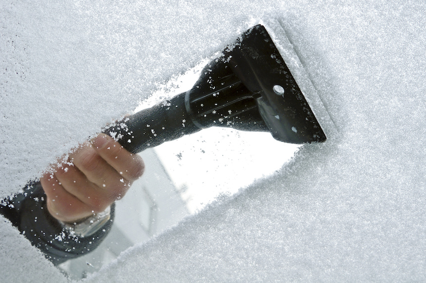
IDAHO FALLS – The National Weather Service in Pocatello is issuing a freeze watch for eastern Idaho, beginning Thursday night and continuing until Friday at 10 a.m.
Meteorologist Dawn Harmon tells EastIdahoNews.com the freeze watch may be upgraded to a freeze warning because cold temperatures expected in eastern Idaho on Thursday night through Saturday night could fall to or below 32-degrees Fahrenheit.
There will be some snowfall throughout the Snake River Plain as well. Anywhere from a tenth of an inch to two inches is likely on Thursday, depending on the location.
“Anything southwest of Pocatello, you’re looking at lower snow amounts. As you move north toward Idaho Falls and Rexburg, those amounts climb a little bit,” Harmon says.
While it is possible there will be some snow at sunrise Thursday morning, Harmon says the bulk of it will come Thursday evening and overnight.
Across eastern Idaho, daytime temperatures are expected to hover around 40 degrees on Thursday. Harmon says there will be a slight uptick in daytime temperatures on Friday.
“Temperatures will warm up a little bit as we move into Friday, and most of the system starts to shift through. We’re looking at mid-40s to upper-40s, depending on location,” says Harmon. “Back up into the mid 50s by Saturday and really nice on Sunday.”
Live traffic cams and a complete seven-day forecast in your area are available here.
This weather-related story is brought to you by Pony Express Car Wash, Idaho's premier express car wash destination, renowned for its commitment to exceptional service and quality. Voted the No. 1 car wash company in Idaho for three consecutive years, we pride ourselves on delivering an unparalleled experience for every vehicle and customer. Our state-of-the-art facility utilizes name-brand soaps and cutting-edge equipment to ensure your car receives the ultimate clean. Established in eastern Idaho in 2019, Pony Express is proud to be a locally owned and operated company that caters to the unique car washing needs of our Idaho Friends and neighbors. We invite you to experience the difference at Pony Express, where your satisfaction is our ultimate goal.